Water quality services
We offer an integrated approach that enables total solutions design for urban, peri-urban and catchment systems. We have a detailed understanding of water quality and behaviour in a whole catchment context.
We specialise in integrated solutions and provide a holistic assessment of water quantity and quality issues. Our insight enables businesses and governments to protect the natural environment while supporting development.
We understand the complexities of water quality and sediment dynamics and help you develop effective strategies to identify, monitor, measure, manage, and mitigate environmental changes. We use risk-based assessments and environment risk management processes under the International Standard for Risk Management (ISO 31000).
We also offer a wealth of experience in collecting soil, groundwater, and sediment samples using established protocols.
With careful targeting, water efficiency optimisation and auditing achieve an excellent return on investment.
We offer world-leading expertise in the highest standard of water management, efficiency auditing, strategic water planning and training across all kinds of sites and portfolios - including the Defence, industrial, commercial, government, business, and high-rise residential sectors.
Our practical and innovative recommendations achieve on average 20-60% water savings through:
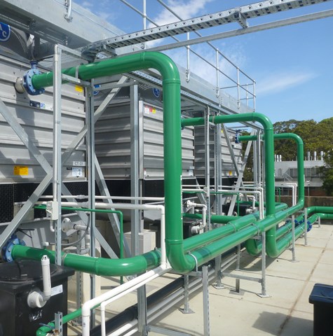
We support you with the complexities of water quality dynamics and developing practical management strategies.
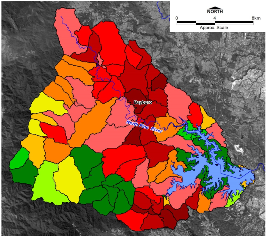
Surface water quality is affected by complex natural and human influences across climate, catchment inflows, and processes occurring within estuaries and offshore effects.
We have a long history of successfully measure, monitor, and control environmental water quality. To do so, we use highly advanced numerical models, many of which have been developed in-house, to carry out complex hydrology and water quality management studies.
We support more intelligent decision making for developers who need to demonstrate compliance with regulations or governmental organisations looking to protect and enhance the environmental values of hydrology and water quality.
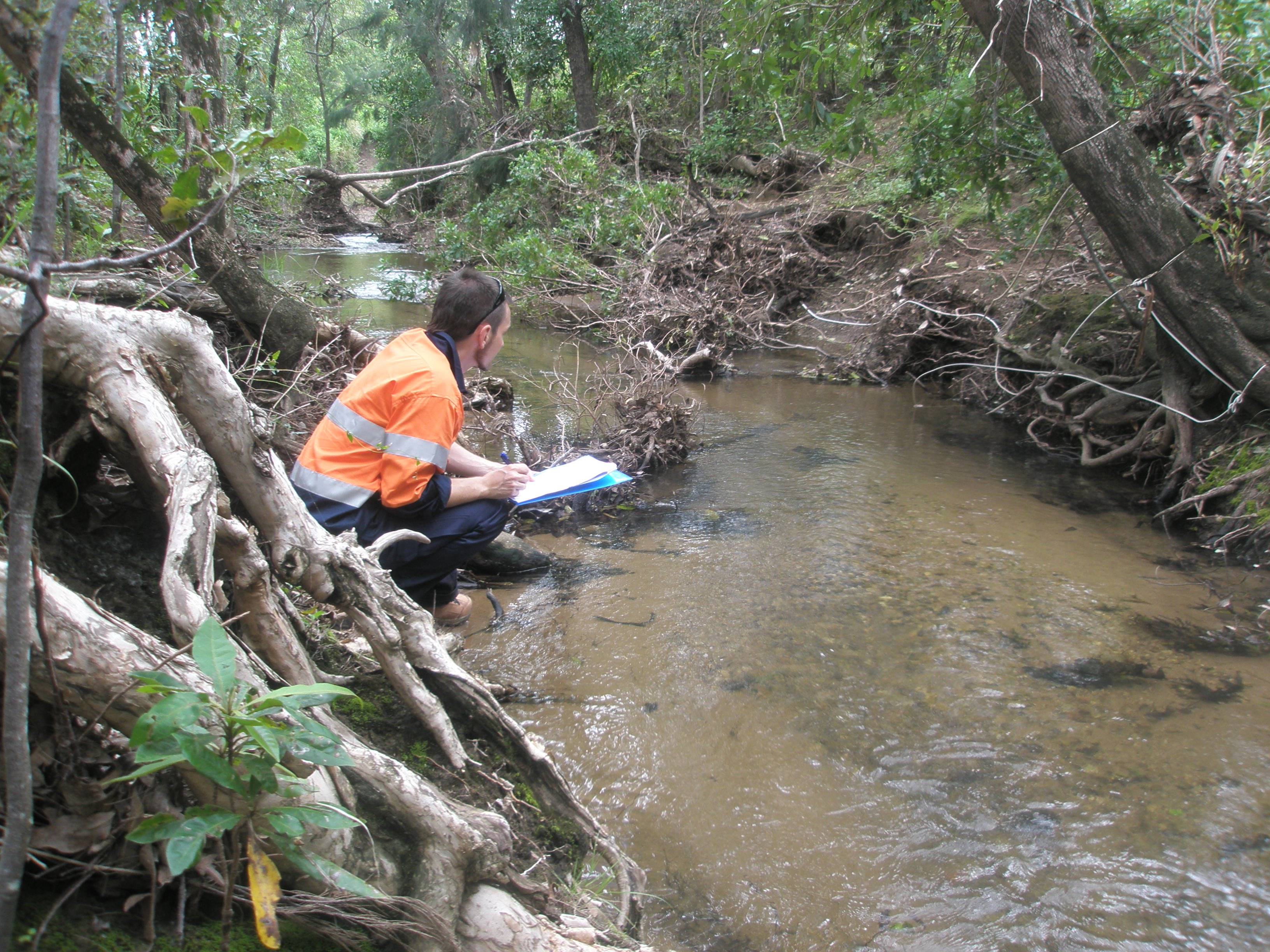
Sediment characteristics can be crucial to understanding and protecting the coastal and estuarine environment.
Our laboratory-based sediment measurement techniques and ability to interpret the results effectively support more intelligent decision making.
Innovations include our recently developed field sediment card, which provides a fast and effective way to identify key characteristics.
Our understanding of quality guidelines, standards, and trigger values supports compliance and intelligent decision-making across various parameters, including toxicants (and toxicity), nutrients, organics, pesticides, herbicides, PFAS and hydrocarbons.
Calibrated with data collected on sediment particle size and underlying hydrodynamics, we can undertake complex assessments of bed mobility, organic enrichment, channel siltation and dispersion from marine placements sites and outfalls.
eDNA is trace amounts of DNA obtained from substrates rather than directly from a biological source.
This preserved genetic material provides a tool to monitor the composition of biological communities at a given location.
When combined with next-generation DNA sequencing technologies, eDNA provides a wealth of information for studies of biodiversity, threatened species, biosecurity, pests/diseases, food webs and dietary analysis.
Using these state-of-the-art eDNA techniques, WE can design and carry out rapid marine and aquatic surveys, including marine pest species.
Measurement of the presence or absence of introduced marine species and to characterise marine fish and invertebrate assemblages (eDNA)
Measuring the impact on the natural environment of plumes and outfalls is both essential and complex.
We have been managing the effects of point source pollution for more than 20 years. Our experience translates into an unsurpassed level of corporate knowledge about the local issues affecting ocean discharge in temperate and tropical waters and different discharge types.
We use numerical models and field instrumentation to predict the mixing and broader interaction of pollutants discharged from a point source within your receiving environment.
From mining by-products to aquaculture to hydropower and wastewater treatment plants, we can help you model and mitigate environmental and regulatory risks from point sources of water pollution.
We can help you model and mitigate environmental and regulatory risks.
Simulating circulation and water quality impacts across impounded lakes and storages, our models can consider volumetric capacity, stratification, and nutrient levels to predict and develop appropriate management responses to issues in impoundments such as algal blooms and microbial contamination.
We help developers and governments successfully design and maintain artificial lakes and reservoirs, from monitoring water quality to managing stormwater.
We advise on detailed design, construction, establishment, management, and handover.
We also undertake mine void lake hydrology, geochemical and ecological modelling to:
We enable you to measure and mitigate environmental risk while supporting successful development.
We use remotely operated vehicles (ROV) and apparatus for working in dangerous or inaccessible locations
We use specialised oil spill software to help predict the location and impact of an oil spill, enabling better planning and preventative measures.
Our related mine water services include:
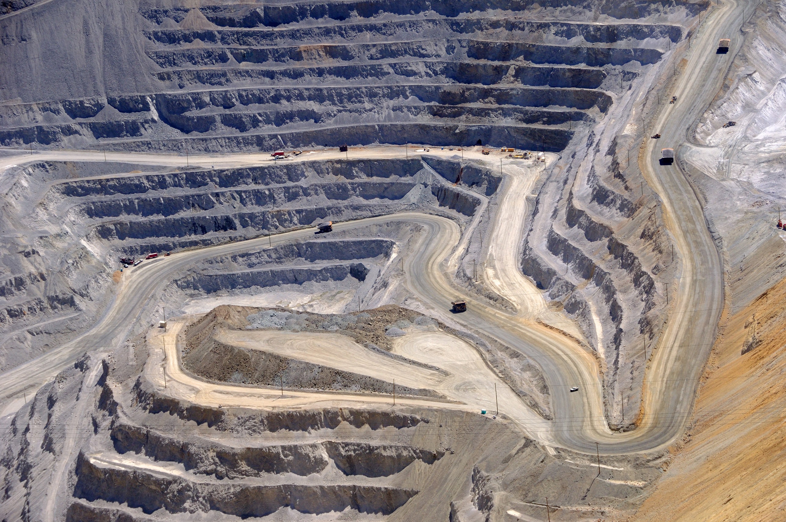
Our catchment modelling simulates the collection of rainfall over a natural drainage area and the subsequent transport of flow, nutrients, sediments, and pollutants, which helps users understand the impacts of land use on downstream waterways. Our catchment models integrate seamlessly with our receiving water quality models to help land managers mitigate environmental impacts, especially for sensitive areas such as wetlands and marine parks.
Our scientists and engineers have the expertise and experience to solve your environmental and hazardous waste challenges through innovative and cost-effective remedies.
TUFLOW's 2D Grid/Quadtree hydraulic modelling software leads the industry in accuracy, speed and workflow efficiency. In combination with TUFLOW's excellent 1D solver and best-in-class 1D/2D linking, TUFLOW 2D Grid/Quadtree is the preferred choice for simulating flooding, urban drainage with complex pipe networks, catchment hydrology, dam break, and storm tide or tsunami inundation.