Discharge Modelling Studies in the Barents Sea
We were contracted by TOTAL (Paris) to undertake cooling water discharge modelling studies on behalf of Shtokman Development AG.
We were contracted by TOTAL (Paris) to undertake cooling water discharge modelling studies on behalf of Shtokman Development AG.
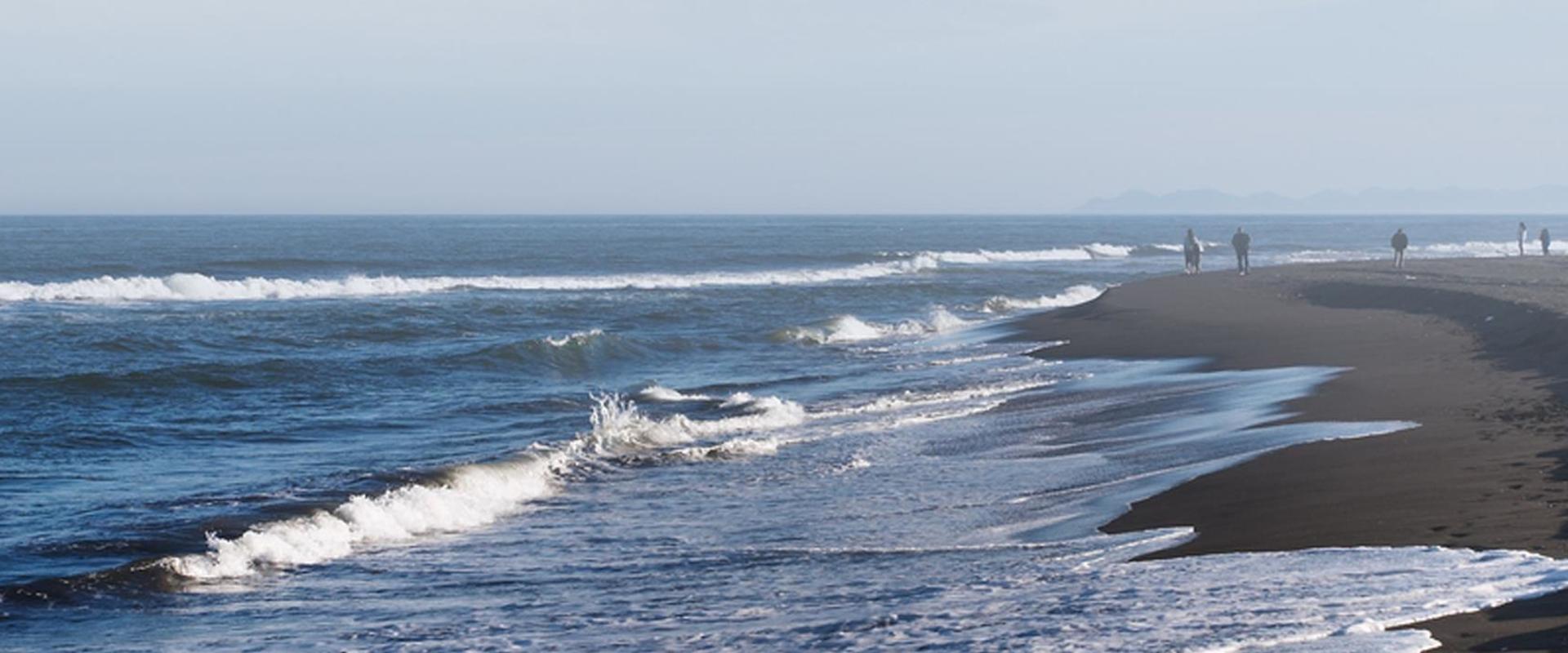
We were contracted by TOTAL (Paris) to undertake cooling water discharge modelling studies on behalf of Shtokman Development AG. The objective was to analyse whether the predicted discharges would be in accordance with Russian Federation and International regulations for discharges in the Barents Sea.
The modelling was undertaken together with REA–Consulting Co. Ltd (REA-Consulting), Vladivostok (Russia Federation), for a proposed Floating Production Unit (FPU); being developed as part of the Shtokman gas condensate field in the central part of the Barents Sea (650 km northeast of Murmansk).
The aim was to assess whether the systems would adhere to Russian Federation maximum permissible concentrations of pollutants and World Bank guidelines on the allowable increase in seawater temperature resulting from cooling water discharge.
The modelling was divided into two studies, with each scenario simulated for summer/winter conditions and for different current speeds:
Simulations were carried out using two models, both developed by REA–Consulting.
Our experienced team of consultants provided a comprehensive analysis and assessment of the modelling scenarios and outputs.
This facilitated Shtokman’s assessment of the fate of potential discharges in the Barents Sea and quantified their ability to adhere to Russian Federation permitted discharge limits based on proposed treatment system design parameters
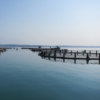
We developed a 3D hydrodynamic and water quality model of the region around the Abrolhos Islands in Western Australia. In collaboration with the University of Western Australia, model results were used to assess the impact of proposed finfish aquaculture on the surrounding environment.
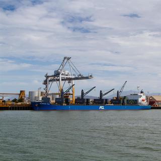
The proposed expansion of the Port of Townsville involves significant dredging of sea bed materials to provide for vessel access, maneuvering and berthing.
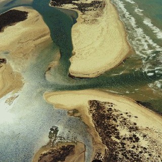
BMT has developed a comprehensive model for analysing the impacts on morphological processes of the Murray River mouth and associated water levels and salinity levels throughout Coorong and Lower Lakes resulting from variable river flows and release strategies at the barrages, incorporating ocean tide, storm surge, wave and wind processes.
In 2010, the Environment Agency produced Reservoir Flood Maps (RFM) for large raised reservoirs at a national scale across England and Wales.