Hong Kong Marine Traffic Modelling & Navigation Risk
Supporting safe growth and infrastructure planning in one of the world's busiest waterways, 2004 - 2020
Supporting safe growth and infrastructure planning in one of the world's busiest waterways, 2004 - 2020
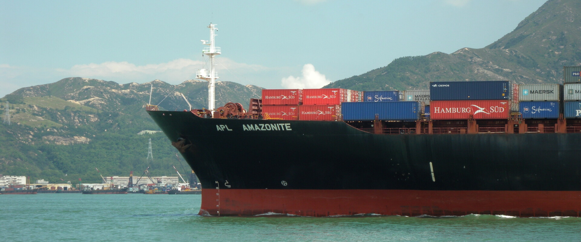
As vessel traffic increased across Hong Kong waters, authorities needed to maintain safe navigation while accommodating new infrastructure, land reclamation and future growth. Operating within one of the world's busiest maritime environments required a deeper understanding of future traffic patterns and navigational risk.
How do you support future growth while maintaining safe and efficient marine operations?
Decision-makers needed to understand how increasing traffic volumes, new infrastructure and changing vessel movements could affect navigational safety, operational performance and future development plans.
Using DYMITRI, BMT's predictive marine traffic modelling and simulation capability, we modelled future vessel traffic patterns, assessed collision risk and evaluated the impact of major planned infrastructure developments across Hong Kong waters. By simulating future operating scenarios and progressive dynamic marine traffic risk, we helped authorities understand traffic constraints, assess navigational risks, evaluate development options and make informed decisions about long-term maritime growth and infrastructure planning.
DYMITRI provided authorities with a robust evidence base to assess future traffic growth, infrastructure impacts and navigation risks. The work supported safer planning decisions, reduced uncertainty around future developments and helped maintain operational confidence in one of the world's most complex maritime environments.
UNDERSTAND
EVALUATE
DECIDE
Supporting confident dredging and access decisions through advanced simulation.

BMT was engaged in the development of the Hong Kong-Zhuhai-Macau Bridge, addressing a number of design requirements and marine traffic issues during the construction of the bridge.

SkyPier at Hong Kong International Airport provides speedy ferry service for transfer passengers. We were responsible for the ferry pontoons that act as the principal interface for passengers and baggage.

We were commissioned by the Hong Kong Trade Development Council, working together with the Li & Fung Institute of Supply Chain Management and Logistics (Chinese University of Hong Kong) to carry out a Consultancy Study on the competitiveness of Hong Kong as a Regional Distribution Centre.