Friston Surface Water Flood Study
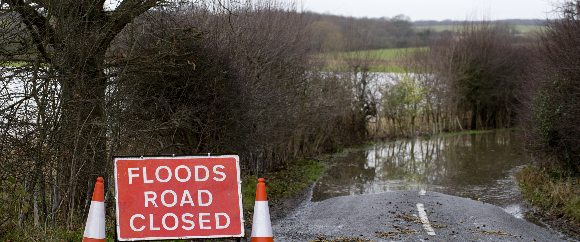
Surface water flood modelling study to determine baseline flood risk through a rural village which is located downstream of a proposed Power Company development site.
Suffolk County Council required a more thorough assessment demonstrating a clear understanding of the flooding mechanisms within the catchment. There was a known history of surface water flooding with an event captured in October 2019. We were able to complete a thorough site investigation and verify the hydraulic model with the October 2019 rainfall provided by the Environment Agency. Whilst there was little flood risk to properties in the catchment and therefore limited funding opportunities for flood schemes, low cost mitigation measures were presented which would offer respite to the village whilst informing the power company of the existing flood risk downstream of their site. This was key information to enable the power company to design drainage accordingly which in collaboration with Suffolk County Council might address existing flood risk as part of the development.
A high resolution surface water flood model was created and verified to offer detailed insight into flooding mechanisms within the catchment. Up to date hydrological methodologies were used to generate rainfall inputs to the model which were calibrated for initial conditions based on observed rainfall datasets. Do Nothing and mitigation scenarios were completed to the understand potential economic benefits or any scheme. The proposed mitigation measures include flood attenuation basins and bunds, Natural Flood Management measures and Property Level Protection. The information has been used to identify locations along with potential costs and benefits for flood mitigation schemes. Detailed mapping of maximum flood depths, hazard and velocity were created. We continue to advise Suffolk County Council throughout the project offering technical advice and expert quality assurance of any outputs from the power company relating to drainage proposals for the new development site.
Hydraulic Modelling
Hydrological Assessment
Site work/survey
Option Feasibility & Economic Appraisal
GIS Mapping

The Surface Water Management Plans (SWMPs) outline an assessment of surface water flood risk, recognising the flood mechanisms and economic impact to residential and commercial properties across the catchments of Clacton on Sea and Sawbridgeworth.

BMT reviewed the operational feasibility of an extended ferry route along the full length of the Dubai Creek.

The Brisbane River Catchment Flood Study is the most detailed and comprehensive flood study ever undertaken in Australia. The hydraulic models that were developed underwent rigorous calibration. A sophisticated Monte Carlo approach was used to hydraulically model 11,340 flooding scenarios. The result was a robust and defendable set of design events. The study was fully peer reviewed by a panel of independent experts.

A comprehensive study of the flood behaviour and flood risk of the Swan and Helena Rivers and preparation of a floodplain development strategy.