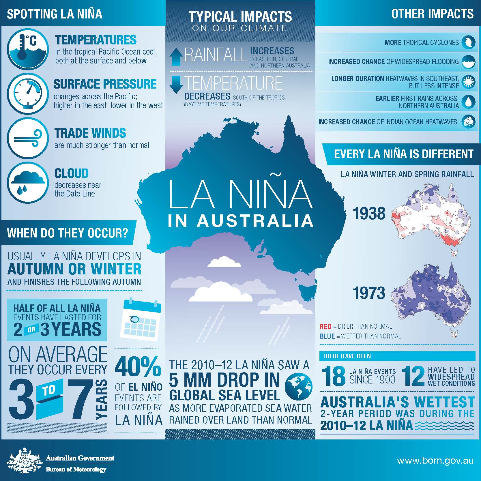
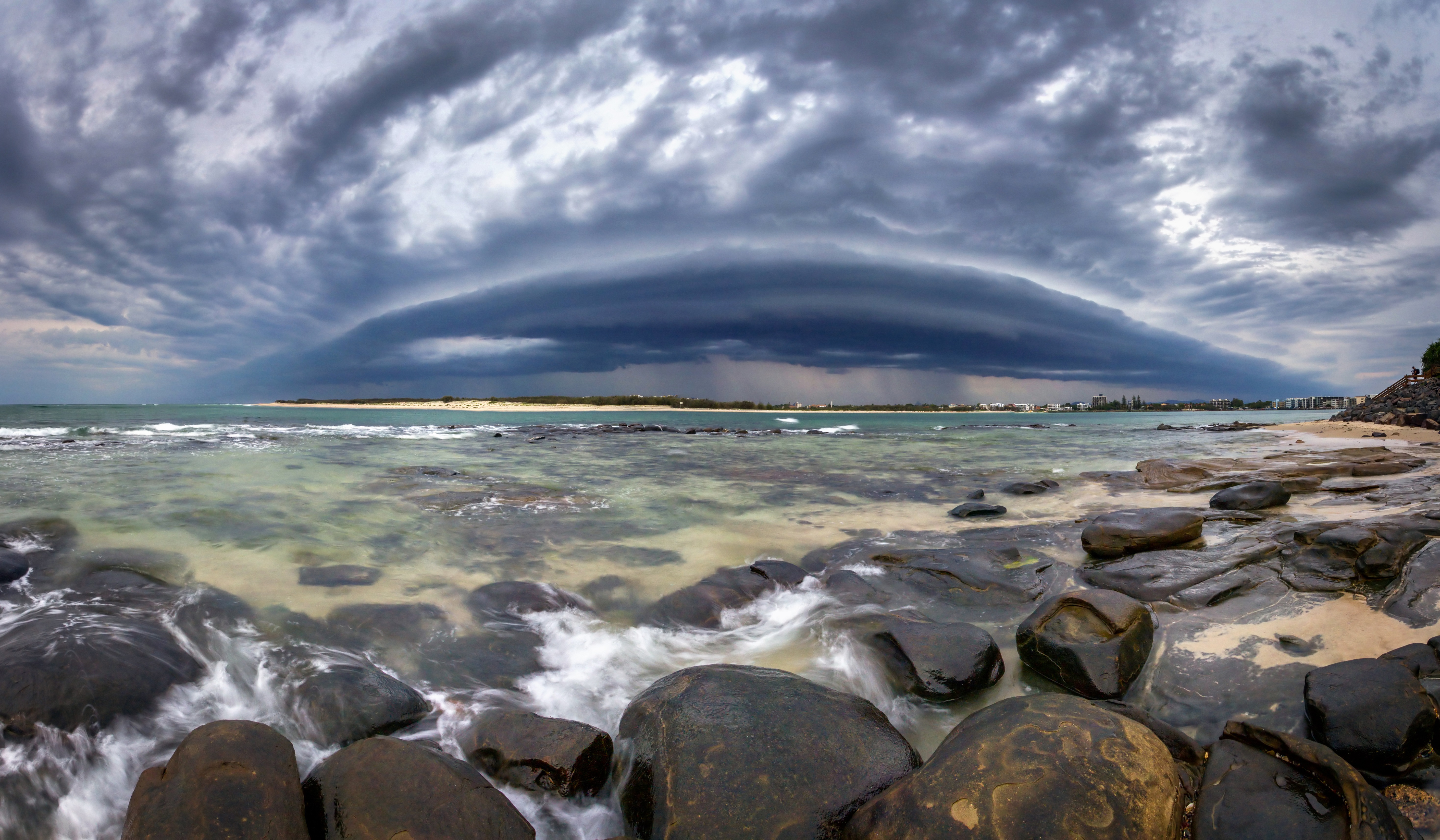
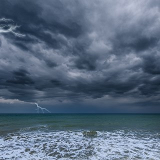
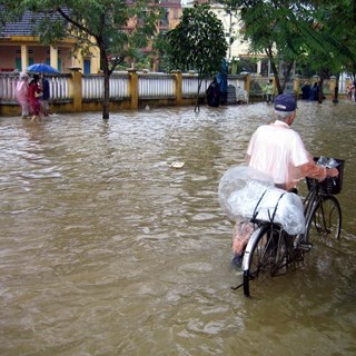
La Niña, a relative of El Niño, occurs every few years and results from strengthening equatorial trade winds leading to an accumulation of warm surface waters in the western Pacific. Warmer ocean temperatures result in more significant volumes of moisture in the atmosphere, bringing increased rainfall and more tropical cyclones. La Niña weather can also create a more extreme shift in temperatures.

(Image source: Bureau of Meteorology (2016))
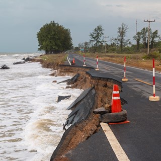
Coastal erosion, storm surges and flooding experienced over a thousand kilometres of coastline in December provided a powerful reminder of the destruction a La Niña event can result in. More recently parts of North Queensland have experienced massive downpours following ex-Tropical Cyclone Imogen, a cue to be prepared for the remainder of the La Niña season.
We should all be mindful of four observations over the next few months.
La Niña is seasonal and can be severe.
Ten years on, we are reminded of the most recent La Niña period to result in significant weather events. The 2010 -2011 wet season, where record rainfalls, including the wettest year on record for the Murray-Darling Basin, resulted in flood declarations for 75% of Queensland and widespread flooding in many other regions across Australia.
Typically extending over 9 to 12 months, La Nina events begin in Autumn, build in intensity throughout the year and generally peak during the Summer. All international climate models indicate a continuation of La Niña into February, suggesting that the severe weather over recent weeks is not isolated. We can expect to experience several extreme weather events over the following months.

Bushfires can make flooding worse.
Compounding the potential impacts of La Niña are the lasting effects of the 2019 – 2020 bushfire season. The 2019 – 2020 summer was genuinely unprecedented; extreme bushfires impacted every state and territory in the country, and by March 2020, more than 46 million acres were burned.
As a fire spreads, no layer of vegetation is spared, with the canopy, undergrowth and forest floor wholly engulfed. Beneath the forest floor, organic matter that improves soil structure and allows aeration and water infiltration is also severely burnt during bushfires.
As soil stability weakens, the destruction of sub-surface organic matter results in compaction, leading to increased volumes of runoff and erosion, as water, which would generally enter the soil, flows downstream into creeks and rivers.

Community involvement can assist future resilience.
While the past is no specific indication of what will occur in the future, studying past events can significantly improve planning and emergency response outcomes. We compare study results with evidence of the flood event, referred to as calibration. The most tried and tested way for the community to contribute to the collection of evidence to assist calibration studies is to collect and provide to the local council photos which indicate the extent and depth of inundation.
Preparation and planning can save lives and property.
Australians are well acquainted with severe weather events, especially during the La Niña periods. Dangerous flood conditions resulting from intense rainfall can lead to significant property damage as cars are washed away and homes inundated. While damage to and loss of material possessions can be expected, the loss of life during severe weather events should be completely avoidable. Establishing a flood plan for your household is one of the most important things you can do to prepare for future weather events. Some points to consider when designing your flood plan include:
-
Do you live, work or regularly travel to a flood-prone area? Your local council will have information available to help you determine the potential for flooding in your area.
-
Do you know where to go during an event and the safest route to get there, including evacuation centres or friends and relatives outside the flood-prone area?
-
Do you know how to keep updated during an event? Listening to your local radio station and checking in on information posted to emergency service social media pages can save you up to date during an event.
-
And the number one rule to remember during a flood is to forget it if it is flooded. Never attempt to pass through floodwater, whether driving, walking or riding.
For information on preparing for extreme weather events and emergencies, check out the resources developed by the Red Cross.

